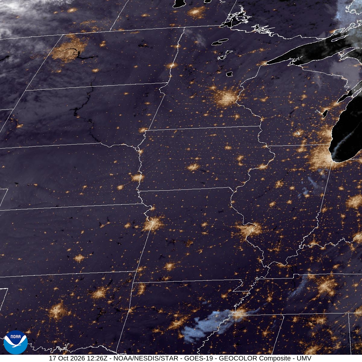
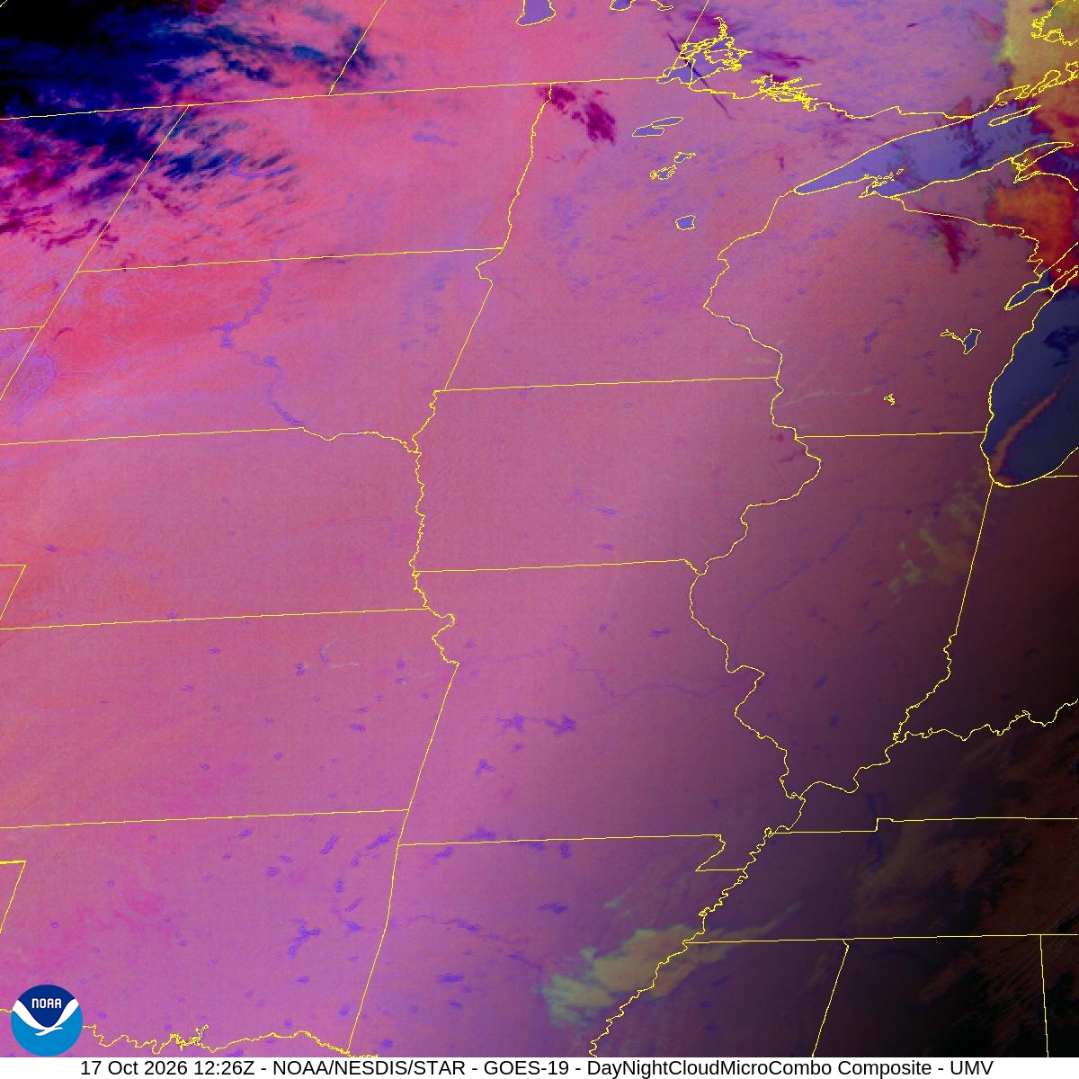
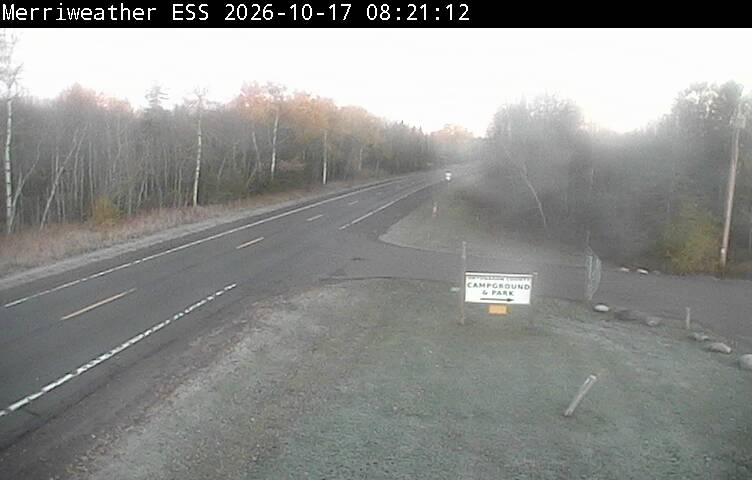
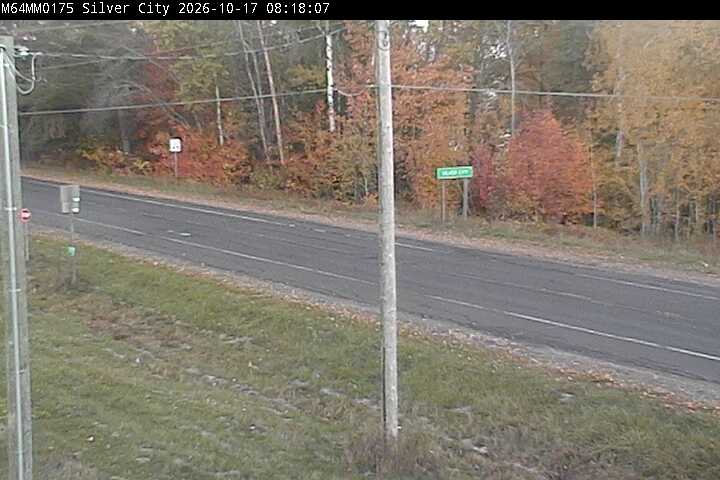
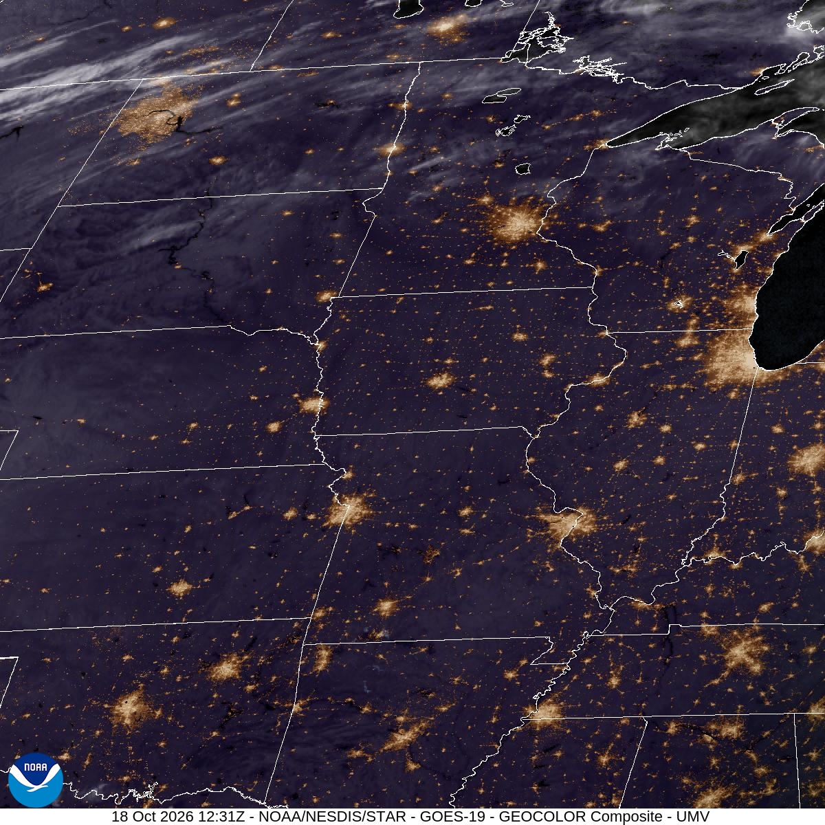
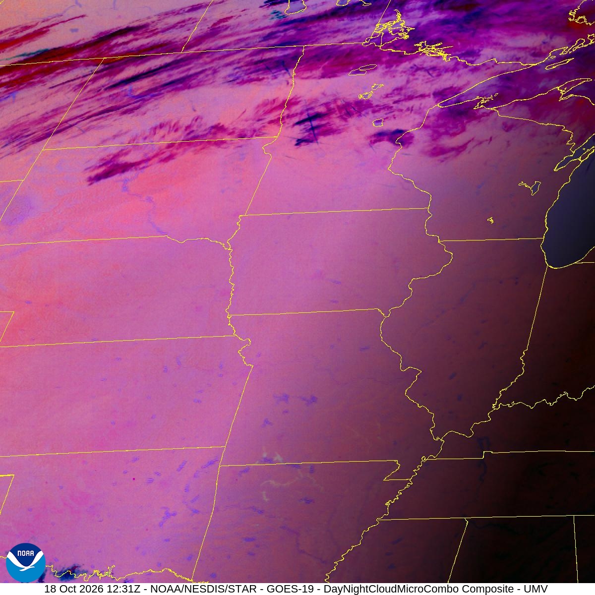
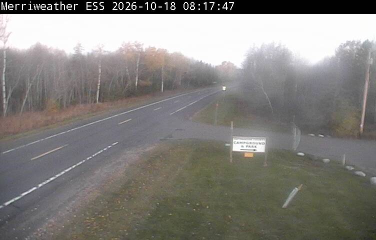
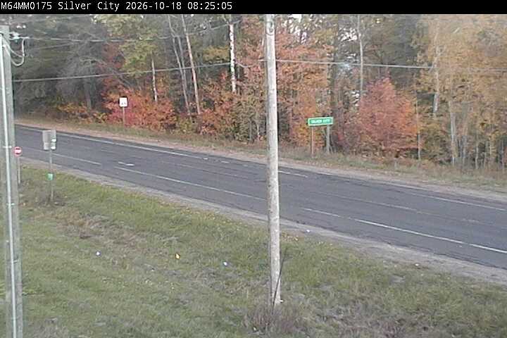
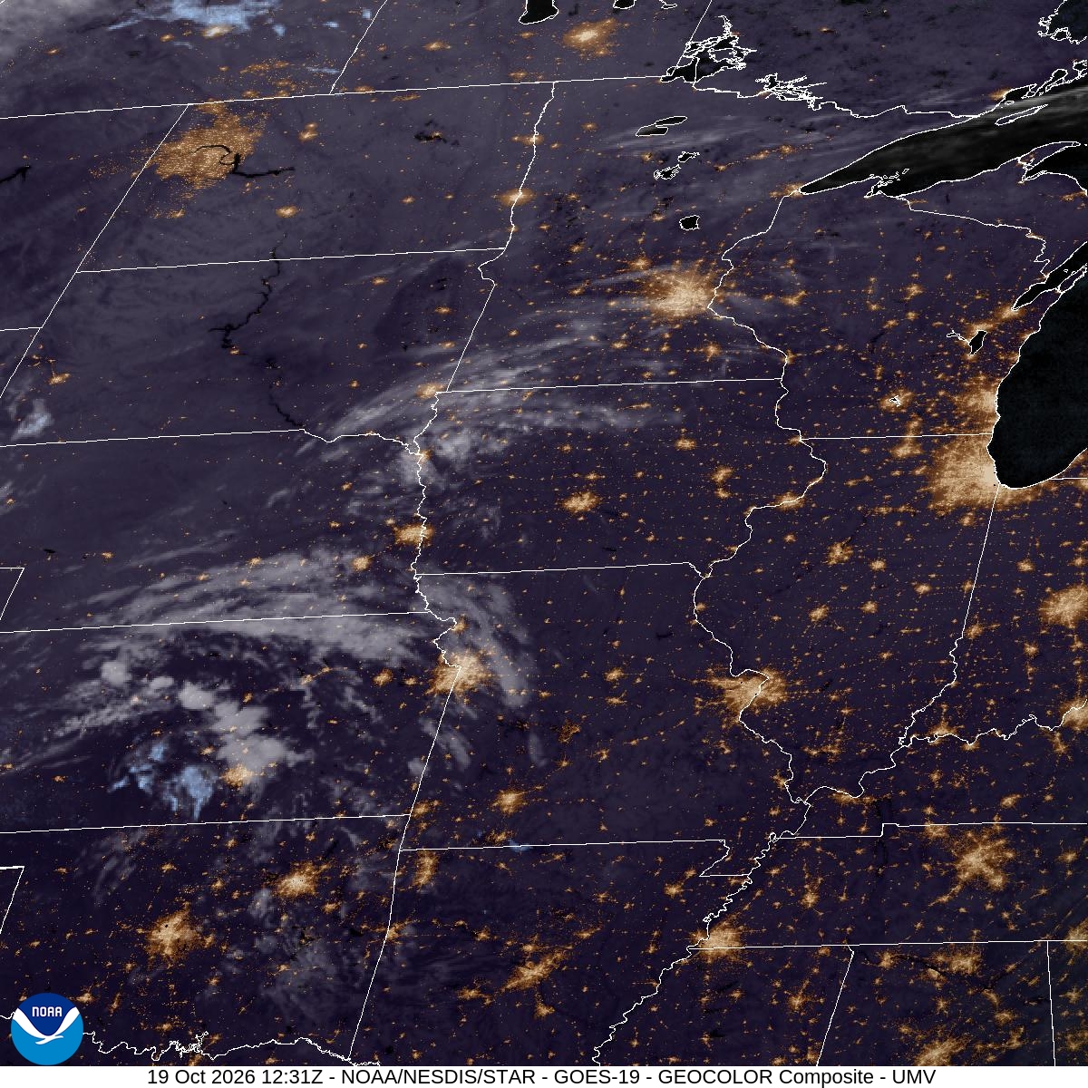
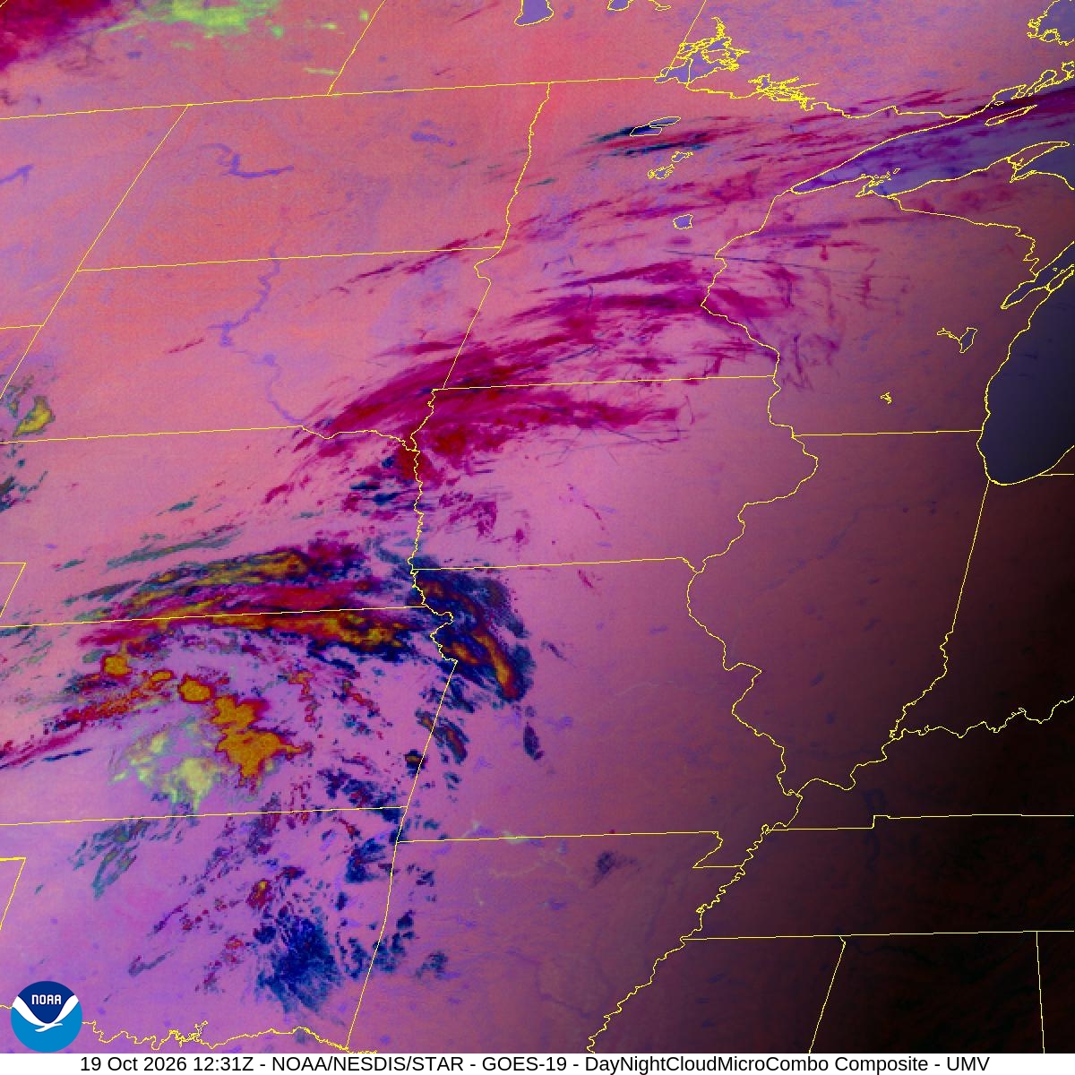
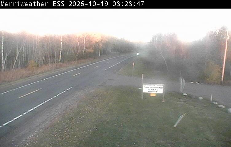
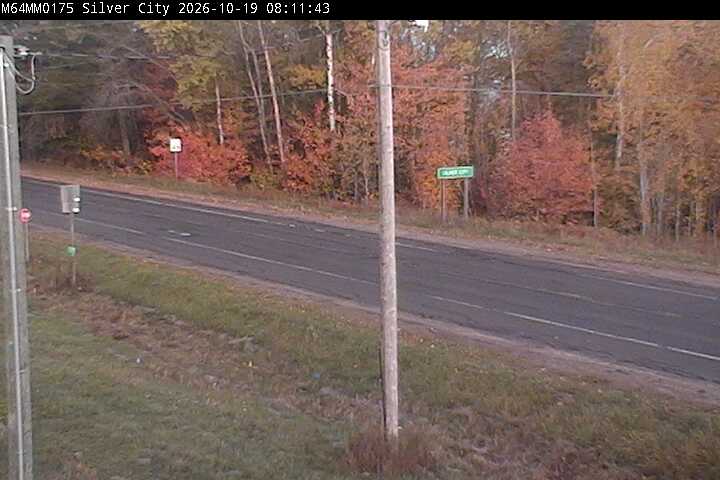
Summit Peak observation tower — 3 %, shallow ground fog
where46.7478, -89.7719 · map
lookhighest ground in the park: above most lake fog decks, beams through the forest on the slopes
featuressummit (DNR: highest point in the park), observation tower, relief 411 m above Lake SuperioraccessDNR FAQ: "State parks and recreation area day-use hours are open 8 a.m. to 10 p.m. daily." That is the statewide rule; the Porkies page gives no park-specific hours and no gate times. Winter: "Park roads, including County Road M-107 at the Whitetail parking area and South Boundary Road closes at Headquarters Road south to the Pinkerton Trailhead, close Dec. 1 through late spring". No October-November road closure is stated. Visitor center: "Oct. 15 - May 14: Closed for the season". Computed sunrise at the overlook (api.sunrise-sunset.org, America/Detroit): 08:17 EDT Oct 16, 08:38 EDT Oct 31, 07:40 EST Nov 1, 08:00 EST Nov 15, 08:20 EST Nov 30; civil twilight starts about 30 min earlier. Result: 8:00 opening is before sunrise through Oct 31, but from Nov 1 sunrise (about 07:40-07:59 EST until about Nov 14) is before the stated opening, and pre-sunrise blue hour is before 8:00 all season. DNR trail PDF: "Summit Peak parking area to tower ... 0.5 miles"; "Trail climbs 300 feet to the tower."
dronepermit — Order 5.1(5), as amended Sept 9, 2026: "Launch an unmanned aircraft from state managed lands in conflict with the unmanned aircraft system act (PA 436 of 2016), and as follows." Listed bans: "(c) Within 100 yards of a cultural or historical site or structure." "(f) Over an occupied beach area." "(h) Over a campground." "(i) Over a restroom or open-air changing court." "(k) For a commercial purpose without first obtaining written permission from an authorized representative of the department, pursuant to administrative rule 299.922(dd)." Porcupine-specific Order 5.1(10) covers only bear feeding and snowmobiles. DNR commercial-use page: commercial use is "use of a state-managed property or land for profit or benefit. Benefit may include ... the growth or promotion of a business"; "Filming or photography" is listed; "you must submit a non-event use permit application at least 60 days in advance". No flat ban on recreational drone flight was found. Status 'permit' is the conservative reading for a working photographer; non-commercial flight outside the listed zones is not banned by this order. Text of R 299.922(dd) itself was not retrieved. source
airspaceNot researched. KOGM 32.7 km, KIWD 36.8 km, KCMX 108.0 km.
notesDrive time is OSRM to the nearest road (snaps 428 m away), not to the parking area. Tower is a viewing structure; DNR clause about structures covers 'cultural or historical' sites only.
suncivil dawn 07:52, sunrise 08:24 at 104.5°, beams 08:40–09:45, burn-off 08:54–09:39 est.
rain 48 h0.0 mm (Open-Meteo ICON assimilated past days (model analysis, not a gauge))
- dewpoint depression: 0.00 — min T−Td in the 3 h before sunrise = 6.6 °C (≤1 °C strongly favours fog, >3 °C rarely fogs)
- wind: 0.98 — mean 10 m wind in the 3 h before sunrise = 5.1 kt (2–5 kt ideal; calm gives only shallow fog; >8 kt mixes it out)
- sky: 1.00 — overnight mid+high levels cloud = 0 % (clear sky lets the ground radiate and cool)
- cooling: 0.99 — temperature fall 18:00 → sunrise = 7.9 °C
- moisture: 0.10 — crossover: forecast night minimum 3.5 °C vs afternoon dewpoint -2.6 °C → +6.1 °C; rain last 48 h = 0.0 mm
- model signal: 0.10 — model's own visibility minimum before sunrise = 27.7 km (0 h ≤ 1 km overnight)
- GATE ×0.3: dewpoint depression never below 6.6 °C: air does not saturate
per-model blend: gfs_hrrr 0.141, ncep_nbm_conus 0.524, ecmwf_ifs025 0.414, icon_seamless 0.57 · spread 0.429
Ontonagon Marina (City of Ontonagon) — 4 %, shallow ground fog
where46.8696, -89.3210 · map
looksteam fog over the water on cold mornings; looking up at the escarpment bank when the wind is onshore
featuresmarina/harbor at lake level, Lake Superior shorelineaccessunknown: no hours found for the marina.
droneunknown — unknown. Not state park land, so Order 5.1 does not apply on its face. No City of Ontonagon drone rule found in one search; Ontonagon County park rules were surfaced but not read.
airspaceNot researched. KOGM is 4.4 km away (the nearest of the three, and it reports no METAR). KCMX 71.3 km, KIWD 72.6 km.
notesOSRM from park headquarters, 25.2 km. DNR calls Ontonagon "about 20 miles east of the park".
suncivil dawn 07:51, sunrise 08:22 at 104.5°, beams 08:38–09:43, burn-off 08:37–09:07 est.
rain 48 h0.0 mm (Open-Meteo ICON assimilated past days (model analysis, not a gauge))
- dewpoint depression: 0.00 — min T−Td in the 3 h before sunrise = 6.5 °C (≤1 °C strongly favours fog, >3 °C rarely fogs)
- wind: 0.89 — mean 10 m wind in the 3 h before sunrise = 5.6 kt (2–5 kt ideal; calm gives only shallow fog; >8 kt mixes it out)
- sky: 1.00 — overnight mid+high levels cloud = 0 % (clear sky lets the ground radiate and cool)
- cooling: 0.40 — temperature fall 18:00 → sunrise = 6.6 °C; part of this is cold advection, not radiation (discounted)
- moisture: 0.20 — crossover: forecast night minimum 4.3 °C vs afternoon dewpoint 2.5 °C → +1.8 °C; rain last 48 h = 0.0 mm; BUT dewpoint falls 4.3 °C by dawn — drier air moving in, crossover rule discounted
- model signal: 0.10 — model's own visibility minimum before sunrise = 29.4 km (0 h ≤ 1 km overnight)
- GATE ×0.3: dewpoint depression never below 6.5 °C: air does not saturate
per-model blend: gfs_hrrr 0.121, ncep_nbm_conus 0.611, ecmwf_ifs025 0.43, icon_seamless 0.595 · spread 0.49
Lake Superior shoreline at the park's M-107 east boundary — 3 %, shallow ground fog
where46.8186, -89.6296 · map
looksteam fog over the water on cold mornings; looking up at the escarpment bank when the wind is onshore
featuresLake Superior shoreline (Union Bay), road at lake levelaccessDNR FAQ: "State parks and recreation area day-use hours are open 8 a.m. to 10 p.m. daily." That is the statewide rule; the Porkies page gives no park-specific hours and no gate times. Winter: "Park roads, including County Road M-107 at the Whitetail parking area and South Boundary Road closes at Headquarters Road south to the Pinkerton Trailhead, close Dec. 1 through late spring". No October-November road closure is stated. Visitor center: "Oct. 15 - May 14: Closed for the season". Computed sunrise at the overlook (api.sunrise-sunset.org, America/Detroit): 08:17 EDT Oct 16, 08:38 EDT Oct 31, 07:40 EST Nov 1, 08:00 EST Nov 15, 08:20 EST Nov 30; civil twilight starts about 30 min earlier. Result: 8:00 opening is before sunrise through Oct 31, but from Nov 1 sunrise (about 07:40-07:59 EST until about Nov 14) is before the stated opening, and pre-sunrise blue hour is before 8:00 all season.
dronepermit — Order 5.1(5), as amended Sept 9, 2026: "Launch an unmanned aircraft from state managed lands in conflict with the unmanned aircraft system act (PA 436 of 2016), and as follows." Listed bans: "(c) Within 100 yards of a cultural or historical site or structure." "(f) Over an occupied beach area." "(h) Over a campground." "(i) Over a restroom or open-air changing court." "(k) For a commercial purpose without first obtaining written permission from an authorized representative of the department, pursuant to administrative rule 299.922(dd)." Porcupine-specific Order 5.1(10) covers only bear feeding and snowmobiles. DNR commercial-use page: commercial use is "use of a state-managed property or land for profit or benefit. Benefit may include ... the growth or promotion of a business"; "Filming or photography" is listed; "you must submit a non-event use permit application at least 60 days in advance". No flat ban on recreational drone flight was found. Status 'permit' is the conservative reading for a working photographer; non-commercial flight outside the listed zones is not banned by this order. Text of R 299.922(dd) itself was not retrieved. source
airspaceNot researched. KOGM 20.2 km, KIWD 50.1 km, KCMX 94.8 km.
notesOSRM from park headquarters 1.5 km. Fog features: open lake to the north, no escarpment relief. 183.487 m matches the ticket's 183 m for Lake Superior.
suncivil dawn 07:52, sunrise 08:23 at 104.5°, beams 08:39–09:44, burn-off 08:38–09:08 est.
rain 48 h0.0 mm (Open-Meteo ICON assimilated past days (model analysis, not a gauge))
- dewpoint depression: 0.00 — min T−Td in the 3 h before sunrise = 6.8 °C (≤1 °C strongly favours fog, >3 °C rarely fogs)
- wind: 0.74 — mean 10 m wind in the 3 h before sunrise = 6.5 kt (2–5 kt ideal; calm gives only shallow fog; >8 kt mixes it out)
- sky: 1.00 — overnight mid+high levels cloud = 0 % (clear sky lets the ground radiate and cool)
- cooling: 0.57 — temperature fall 18:00 → sunrise = 4.8 °C
- moisture: 0.23 — crossover: forecast night minimum 5.5 °C vs afternoon dewpoint 2.3 °C → +3.2 °C; rain last 48 h = 0.0 mm
- model signal: 0.10 — model's own visibility minimum before sunrise = 23.3 km (0 h ≤ 1 km overnight)
- GATE ×0.3: dewpoint depression never below 6.8 °C: air does not saturate
per-model blend: gfs_hrrr 0.118, ncep_nbm_conus 0.502, ecmwf_ifs025 0.408, icon_seamless 0.59 · spread 0.472
Government Peak — 2 %, shallow ground fog
where46.7833, -89.7310 · map
lookhighest ground in the park: above most lake fog decks, beams through the forest on the slopes
featuressummit, forested ridge, relief 380 m above Lake SuperioraccessDNR FAQ: "State parks and recreation area day-use hours are open 8 a.m. to 10 p.m. daily." That is the statewide rule; the Porkies page gives no park-specific hours and no gate times. Winter: "Park roads, including County Road M-107 at the Whitetail parking area and South Boundary Road closes at Headquarters Road south to the Pinkerton Trailhead, close Dec. 1 through late spring". No October-November road closure is stated. Visitor center: "Oct. 15 - May 14: Closed for the season". Computed sunrise at the overlook (api.sunrise-sunset.org, America/Detroit): 08:17 EDT Oct 16, 08:38 EDT Oct 31, 07:40 EST Nov 1, 08:00 EST Nov 15, 08:20 EST Nov 30; civil twilight starts about 30 min earlier. Result: 8:00 opening is before sunrise through Oct 31, but from Nov 1 sunrise (about 07:40-07:59 EST until about Nov 14) is before the stated opening, and pre-sunrise blue hour is before 8:00 all season. Accessible on foot: DNR trail PDF, Government Peak Trail: "Leaving the trailhead on M-107, the trail crosses the upper Carp River, following it to Trap Falls. From here the trail swings west through fine stands of hardwood and hemlock to Government Peak."
dronepermit — Order 5.1(5), as amended Sept 9, 2026: "Launch an unmanned aircraft from state managed lands in conflict with the unmanned aircraft system act (PA 436 of 2016), and as follows." Listed bans: "(c) Within 100 yards of a cultural or historical site or structure." "(f) Over an occupied beach area." "(h) Over a campground." "(i) Over a restroom or open-air changing court." "(k) For a commercial purpose without first obtaining written permission from an authorized representative of the department, pursuant to administrative rule 299.922(dd)." Porcupine-specific Order 5.1(10) covers only bear feeding and snowmobiles. DNR commercial-use page: commercial use is "use of a state-managed property or land for profit or benefit. Benefit may include ... the growth or promotion of a business"; "Filming or photography" is listed; "you must submit a non-event use permit application at least 60 days in advance". No flat ban on recreational drone flight was found. Status 'permit' is the conservative reading for a working photographer; non-commercial flight outside the listed zones is not banned by this order. Text of R 299.922(dd) itself was not retrieved. source
airspaceNot researched. KOGM 28.5 km, KIWD 41.7 km, KCMX 103.5 km.
notesDrive time left null: OSRM snaps the peak 3.4 km from any road (30.5 min) and the trailhead coordinate on M-107 was not found, so no honest figure. DNR trail PDF segments from the M-107 trailhead (0.7 + 1.3 + 1.3 + 1.9 miles, my sum) come to about 5.2 miles to the peak; total trail length is stated as 7.3 miles.
suncivil dawn 07:52, sunrise 08:24 at 104.5°, beams 08:40–09:45, burn-off 08:39–09:09 est.
rain 48 h0.0 mm (Open-Meteo ICON assimilated past days (model analysis, not a gauge))
- dewpoint depression: 0.00 — min T−Td in the 3 h before sunrise = 9.3 °C (≤1 °C strongly favours fog, >3 °C rarely fogs)
- wind: 0.00 — mean 10 m wind in the 3 h before sunrise = 14.2 kt (2–5 kt ideal; calm gives only shallow fog; >8 kt mixes it out)
- sky: 1.00 — overnight mid+high levels cloud = 0 % (clear sky lets the ground radiate and cool)
- cooling: 0.23 — temperature fall 18:00 → sunrise = 2.6 °C
- moisture: 0.10 — crossover: forecast night minimum 7.8 °C vs afternoon dewpoint -0.5 °C → +8.2 °C; rain last 48 h = 0.0 mm
- model signal: 0.10 — model's own visibility minimum before sunrise = 33.6 km (0 h ≤ 1 km overnight)
- GATE ×0.3: dewpoint depression never below 9.3 °C: air does not saturate
- GATE ×0.25: wind 14 kt: too much mixing for radiation fog
per-model blend: gfs_hrrr 0.015, ncep_nbm_conus 0.46, ecmwf_ifs025 0.413, icon_seamless 0.57 · spread 0.555
Lake of the Clouds scenic overlook (DNR waypoint 'LAKE OF CLOUDS') — 1 %, shallow ground fog
where46.8033, -89.7637 · map
lookfrom the escarpment: the bank cresting the ridge toward you, or a sea of cloud below if the top is beneath you; valley radiation fog in the Carp River below
featureslake (Lake of the Clouds), river (Big Carp River outlet), escarpment relief, valley belowaccessDNR FAQ: "State parks and recreation area day-use hours are open 8 a.m. to 10 p.m. daily." That is the statewide rule; the Porkies page gives no park-specific hours and no gate times. Winter: "Park roads, including County Road M-107 at the Whitetail parking area and South Boundary Road closes at Headquarters Road south to the Pinkerton Trailhead, close Dec. 1 through late spring". No October-November road closure is stated. Visitor center: "Oct. 15 - May 14: Closed for the season". Computed sunrise at the overlook (api.sunrise-sunset.org, America/Detroit): 08:17 EDT Oct 16, 08:38 EDT Oct 31, 07:40 EST Nov 1, 08:00 EST Nov 15, 08:20 EST Nov 30; civil twilight starts about 30 min earlier. Result: 8:00 opening is before sunrise through Oct 31, but from Nov 1 sunrise (about 07:40-07:59 EST until about Nov 14) is before the stated opening, and pre-sunrise blue hour is before 8:00 all season.
dronepermit — Order 5.1(5), as amended Sept 9, 2026: "Launch an unmanned aircraft from state managed lands in conflict with the unmanned aircraft system act (PA 436 of 2016), and as follows." Listed bans: "(c) Within 100 yards of a cultural or historical site or structure." "(f) Over an occupied beach area." "(h) Over a campground." "(i) Over a restroom or open-air changing court." "(k) For a commercial purpose without first obtaining written permission from an authorized representative of the department, pursuant to administrative rule 299.922(dd)." Porcupine-specific Order 5.1(10) covers only bear feeding and snowmobiles. DNR commercial-use page: commercial use is "use of a state-managed property or land for profit or benefit. Benefit may include ... the growth or promotion of a business"; "Filming or photography" is listed; "you must submit a non-event use permit application at least 60 days in advance". No flat ban on recreational drone flight was found. Status 'permit' is the conservative reading for a working photographer; non-commercial flight outside the listed zones is not banned by this order. Text of R 299.922(dd) itself was not retrieved. source
airspaceNot researched (outside ticket). Nearest ICAO fields from this point, great-circle: KOGM 30.5 km, KIWD 41.6 km, KCMX 104.9 km.
notesDrive time is OSRM public router from DNR park headquarters waypoint, 13.2 km; implied 24.5 km/h because OSM tags M-107 'unclassified' with no maxspeed, so this probably overstates real time. DNR calls the road 'County Road M-107'. Gate at the overlook: not found on any michigan.gov page.
suncivil dawn 07:52, sunrise 08:24 at 104.5°, beams 08:40–09:45, burn-off 08:39–09:09 est.
rain 48 h0.0 mm (Open-Meteo ICON assimilated past days (model analysis, not a gauge))
- dewpoint depression: 0.00 — min T−Td in the 3 h before sunrise = 10.8 °C (≤1 °C strongly favours fog, >3 °C rarely fogs)
- wind: 0.09 — mean 10 m wind in the 3 h before sunrise = 11.1 kt (2–5 kt ideal; calm gives only shallow fog; >8 kt mixes it out)
- sky: 1.00 — overnight mid+high levels cloud = 0 % (clear sky lets the ground radiate and cool)
- cooling: 0.20 — temperature fall 18:00 → sunrise = 2.1 °C
- moisture: 0.10 — crossover: forecast night minimum 9.4 °C vs afternoon dewpoint 0.1 °C → +9.2 °C; rain last 48 h = 0.0 mm
- model signal: 0.10 — model's own visibility minimum before sunrise = 40.5 km (0 h ≤ 1 km overnight)
- GATE ×0.3: dewpoint depression never below 10.8 °C: air does not saturate
- GATE ×0.25: wind 11 kt: too much mixing for radiation fog
per-model blend: gfs_hrrr 0.016, ncep_nbm_conus 0.135, ecmwf_ifs025 0.408, icon_seamless 0.57 · spread 0.554
Big Carp River valley floor at the Lake of the Clouds outlet (North Mirror Lake Trail vertex) — 1 %, shallow ground fog
where46.8012, -89.7619 · map
lookinside valley fog at dawn; the overlook above is the vantage for it
featureslake outlet, river (Big Carp River), valley floor, escarpment aboveaccessDNR FAQ: "State parks and recreation area day-use hours are open 8 a.m. to 10 p.m. daily." That is the statewide rule; the Porkies page gives no park-specific hours and no gate times. Winter: "Park roads, including County Road M-107 at the Whitetail parking area and South Boundary Road closes at Headquarters Road south to the Pinkerton Trailhead, close Dec. 1 through late spring". No October-November road closure is stated. Visitor center: "Oct. 15 - May 14: Closed for the season". Computed sunrise at the overlook (api.sunrise-sunset.org, America/Detroit): 08:17 EDT Oct 16, 08:38 EDT Oct 31, 07:40 EST Nov 1, 08:00 EST Nov 15, 08:20 EST Nov 30; civil twilight starts about 30 min earlier. Result: 8:00 opening is before sunrise through Oct 31, but from Nov 1 sunrise (about 07:40-07:59 EST until about Nov 14) is before the stated opening, and pre-sunrise blue hour is before 8:00 all season. Reached on foot only (trail descends from the overlook parking area).
dronepermit — Order 5.1(5), as amended Sept 9, 2026: "Launch an unmanned aircraft from state managed lands in conflict with the unmanned aircraft system act (PA 436 of 2016), and as follows." Listed bans: "(c) Within 100 yards of a cultural or historical site or structure." "(f) Over an occupied beach area." "(h) Over a campground." "(i) Over a restroom or open-air changing court." "(k) For a commercial purpose without first obtaining written permission from an authorized representative of the department, pursuant to administrative rule 299.922(dd)." Porcupine-specific Order 5.1(10) covers only bear feeding and snowmobiles. DNR commercial-use page: commercial use is "use of a state-managed property or land for profit or benefit. Benefit may include ... the growth or promotion of a business"; "Filming or photography" is listed; "you must submit a non-event use permit application at least 60 days in advance". No flat ban on recreational drone flight was found. Status 'permit' is the conservative reading for a working photographer; non-commercial flight outside the listed zones is not banned by this order. Text of R 299.922(dd) itself was not retrieved. source
airspaceNot researched. KOGM 30.4 km, KIWD 41.5 km, KCMX 104.8 km.
notesDrive time is to the overlook road (OSRM snaps 391 m from the point); the rest is a walk down the escarpment. Trail walking time not found.
suncivil dawn 07:52, sunrise 08:24 at 104.5°, beams 08:40–09:45, burn-off 08:39–09:09 est.
rain 48 h0.0 mm (Open-Meteo ICON assimilated past days (model analysis, not a gauge))
- dewpoint depression: 0.00 — min T−Td in the 3 h before sunrise = 10.9 °C (≤1 °C strongly favours fog, >3 °C rarely fogs)
- wind: 0.09 — mean 10 m wind in the 3 h before sunrise = 11.1 kt (2–5 kt ideal; calm gives only shallow fog; >8 kt mixes it out)
- sky: 1.00 — overnight mid+high levels cloud = 0 % (clear sky lets the ground radiate and cool)
- cooling: 0.20 — temperature fall 18:00 → sunrise = 2.1 °C
- moisture: 0.10 — crossover: forecast night minimum 9.9 °C vs afternoon dewpoint 0.6 °C → +9.3 °C; rain last 48 h = 0.0 mm
- model signal: 0.10 — model's own visibility minimum before sunrise = 40.5 km (0 h ≤ 1 km overnight)
- GATE ×0.3: dewpoint depression never below 10.9 °C: air does not saturate
- GATE ×0.25: wind 11 kt: too much mixing for radiation fog
per-model blend: gfs_hrrr 0.016, ncep_nbm_conus 0.135, ecmwf_ifs025 0.408, icon_seamless 0.57 · spread 0.554
Cuyahoga Peak (Escarpment Trail high point candidate) — 1 %, shallow ground fog
where46.8136, -89.7160 · map
lookfrom the escarpment: the bank cresting the ridge toward you, or a sea of cloud below if the top is beneath you; valley radiation fog in the Carp River below
featuresescarpment ridge, relief 156 m above Lake of the Clouds surface, 300 m above Lake SuperioraccessDNR FAQ: "State parks and recreation area day-use hours are open 8 a.m. to 10 p.m. daily." That is the statewide rule; the Porkies page gives no park-specific hours and no gate times. Winter: "Park roads, including County Road M-107 at the Whitetail parking area and South Boundary Road closes at Headquarters Road south to the Pinkerton Trailhead, close Dec. 1 through late spring". No October-November road closure is stated. Visitor center: "Oct. 15 - May 14: Closed for the season". Computed sunrise at the overlook (api.sunrise-sunset.org, America/Detroit): 08:17 EDT Oct 16, 08:38 EDT Oct 31, 07:40 EST Nov 1, 08:00 EST Nov 15, 08:20 EST Nov 30; civil twilight starts about 30 min earlier. Result: 8:00 opening is before sunrise through Oct 31, but from Nov 1 sunrise (about 07:40-07:59 EST until about Nov 14) is before the stated opening, and pre-sunrise blue hour is before 8:00 all season. Trail access only; DNR Escarpment Trail text: "Follows the escarpment ridge from the Lake of the Clouds parking area to the Government Peak Trailhead on M-107."
dronepermit — Order 5.1(5), as amended Sept 9, 2026: "Launch an unmanned aircraft from state managed lands in conflict with the unmanned aircraft system act (PA 436 of 2016), and as follows." Listed bans: "(c) Within 100 yards of a cultural or historical site or structure." "(f) Over an occupied beach area." "(h) Over a campground." "(i) Over a restroom or open-air changing court." "(k) For a commercial purpose without first obtaining written permission from an authorized representative of the department, pursuant to administrative rule 299.922(dd)." Porcupine-specific Order 5.1(10) covers only bear feeding and snowmobiles. DNR commercial-use page: commercial use is "use of a state-managed property or land for profit or benefit. Benefit may include ... the growth or promotion of a business"; "Filming or photography" is listed; "you must submit a non-event use permit application at least 60 days in advance". No flat ban on recreational drone flight was found. Status 'permit' is the conservative reading for a working photographer; non-commercial flight outside the listed zones is not banned by this order. Text of R 299.922(dd) itself was not retrieved. source
airspaceNot researched. KOGM 26.8 km, KIWD 44.9 km, KCMX 101.1 km.
notesDrive time is OSRM to the nearest road, which snaps 496 m from the peak; trailhead and hike time not found. Cloud Peak alternative: Nominatim 46.8118901,-89.7301580, 459.4 m (DNR waypoint 46.81158,-89.73095, 460.6 m), OSRM 22.8 min. DNR waypoint list names mine relics (Carp Lake Boiler, Carp Lake Adit) roughly 0.3-0.9 km from the peaks; not verified whether any counts as a 'cultural or historical site' for the 100-yard clause.
suncivil dawn 07:52, sunrise 08:24 at 104.5°, beams 08:40–09:45, burn-off 08:39–09:09 est.
rain 48 h0.0 mm (Open-Meteo ICON assimilated past days (model analysis, not a gauge))
- dewpoint depression: 0.00 — min T−Td in the 3 h before sunrise = 9.0 °C (≤1 °C strongly favours fog, >3 °C rarely fogs)
- wind: 0.00 — mean 10 m wind in the 3 h before sunrise = 13.8 kt (2–5 kt ideal; calm gives only shallow fog; >8 kt mixes it out)
- sky: 1.00 — overnight mid+high levels cloud = 0 % (clear sky lets the ground radiate and cool)
- cooling: 0.24 — temperature fall 18:00 → sunrise = 2.8 °C
- moisture: 0.10 — crossover: forecast night minimum 7.9 °C vs afternoon dewpoint 0.8 °C → +7.1 °C; rain last 48 h = 0.0 mm
- model signal: 0.10 — model's own visibility minimum before sunrise = 34.6 km (0 h ≤ 1 km overnight)
- GATE ×0.3: dewpoint depression never below 9.0 °C: air does not saturate
- GATE ×0.25: wind 14 kt: too much mixing for radiation fog
per-model blend: gfs_hrrr 0.015, ncep_nbm_conus 0.139, ecmwf_ifs025 0.413, icon_seamless 0.57 · spread 0.555
Presque Isle River mouth (Presque Isle Unit) — 2 %, shallow ground fog
where46.7102, -89.9746 · map
looksteam fog over the water on cold mornings; looking up at the escarpment bank when the wind is onshore
featuresriver mouth, Lake Superior shoreline, river corridoraccessDNR FAQ: "State parks and recreation area day-use hours are open 8 a.m. to 10 p.m. daily." That is the statewide rule; the Porkies page gives no park-specific hours and no gate times. Winter: "Park roads, including County Road M-107 at the Whitetail parking area and South Boundary Road closes at Headquarters Road south to the Pinkerton Trailhead, close Dec. 1 through late spring". No October-November road closure is stated. Visitor center: "Oct. 15 - May 14: Closed for the season". Computed sunrise at the overlook (api.sunrise-sunset.org, America/Detroit): 08:17 EDT Oct 16, 08:38 EDT Oct 31, 07:40 EST Nov 1, 08:00 EST Nov 15, 08:20 EST Nov 30; civil twilight starts about 30 min earlier. Result: 8:00 opening is before sunrise through Oct 31, but from Nov 1 sunrise (about 07:40-07:59 EST until about Nov 14) is before the stated opening, and pre-sunrise blue hour is before 8:00 all season. Winter: "Access to Presque Isle Scenic Area remains available via County Road 519 just east of Wakefield." Presque Isle day-use area and rustic campground are on this unit.
dronepermit — Order 5.1(5), as amended Sept 9, 2026: "Launch an unmanned aircraft from state managed lands in conflict with the unmanned aircraft system act (PA 436 of 2016), and as follows." Listed bans: "(c) Within 100 yards of a cultural or historical site or structure." "(f) Over an occupied beach area." "(h) Over a campground." "(i) Over a restroom or open-air changing court." "(k) For a commercial purpose without first obtaining written permission from an authorized representative of the department, pursuant to administrative rule 299.922(dd)." Porcupine-specific Order 5.1(10) covers only bear feeding and snowmobiles. DNR commercial-use page: commercial use is "use of a state-managed property or land for profit or benefit. Benefit may include ... the growth or promotion of a business"; "Filming or photography" is listed; "you must submit a non-event use permit application at least 60 days in advance". No flat ban on recreational drone flight was found. Status 'permit' is the conservative reading for a working photographer; non-commercial flight outside the listed zones is not banned by this order. Text of R 299.922(dd) itself was not retrieved. source
airspaceNot researched. KIWD 23.6 km, KOGM 48.6 km, KCMX 123.8 km.
notesOSRM from park headquarters, 40.3 km; mouth snaps 318 m from the road. Over a campground and occupied beach areas are banned for drones.
suncivil dawn 07:53, sunrise 08:25 at 104.5°, beams 08:41–09:46, burn-off 08:40–09:10 est.
rain 48 h0.0 mm (Open-Meteo ICON assimilated past days (model analysis, not a gauge))
- dewpoint depression: 0.00 — min T−Td in the 3 h before sunrise = 9.1 °C (≤1 °C strongly favours fog, >3 °C rarely fogs)
- wind: 0.31 — mean 10 m wind in the 3 h before sunrise = 8.9 kt (2–5 kt ideal; calm gives only shallow fog; >8 kt mixes it out)
- sky: 1.00 — overnight mid+high levels cloud = 0 % (clear sky lets the ground radiate and cool)
- cooling: 0.40 — temperature fall 18:00 → sunrise = 5.3 °C; part of this is cold advection, not radiation (discounted)
- moisture: 0.15 — crossover: forecast night minimum 8.4 °C vs afternoon dewpoint 4.8 °C → +3.7 °C; rain last 48 h = 0.0 mm; BUT dewpoint falls 5.7 °C by dawn — drier air moving in, crossover rule discounted
- model signal: 0.10 — model's own visibility minimum before sunrise = 34.7 km (0 h ≤ 1 km overnight)
- GATE ×0.3: dewpoint depression never below 9.1 °C: air does not saturate
per-model blend: gfs_hrrr 0.085, ncep_nbm_conus 0.51, ecmwf_ifs025 0.408, icon_seamless 0.13 · spread 0.425
Union Bay Campground (lakeshore) — 2 %, shallow ground fog
where46.8237, -89.6407 · map
looksteam fog over the water on cold mornings; looking up at the escarpment bank when the wind is onshore
featuresLake Superior shoreline (Union Bay), sandy beach, rocky shore, boat launchaccessDNR FAQ: "State parks and recreation area day-use hours are open 8 a.m. to 10 p.m. daily." That is the statewide rule; the Porkies page gives no park-specific hours and no gate times. Winter: "Park roads, including County Road M-107 at the Whitetail parking area and South Boundary Road closes at Headquarters Road south to the Pinkerton Trailhead, close Dec. 1 through late spring". No October-November road closure is stated. Visitor center: "Oct. 15 - May 14: Closed for the season". Computed sunrise at the overlook (api.sunrise-sunset.org, America/Detroit): 08:17 EDT Oct 16, 08:38 EDT Oct 31, 07:40 EST Nov 1, 08:00 EST Nov 15, 08:20 EST Nov 30; civil twilight starts about 30 min earlier. Result: 8:00 opening is before sunrise through Oct 31, but from Nov 1 sunrise (about 07:40-07:59 EST until about Nov 14) is before the stated opening, and pre-sunrise blue hour is before 8:00 all season. DNR: "Only registered campers are allowed in the campgrounds after 10 p.m." so campers are present at dawn; day-use boat access and beach are adjacent to the campground.
droneprohibited — Order 5.1(5), as amended Sept 9, 2026: "Launch an unmanned aircraft from state managed lands in conflict with the unmanned aircraft system act (PA 436 of 2016), and as follows." Listed bans: "(c) Within 100 yards of a cultural or historical site or structure." "(f) Over an occupied beach area." "(h) Over a campground." "(i) Over a restroom or open-air changing court." "(k) For a commercial purpose without first obtaining written permission from an authorized representative of the department, pursuant to administrative rule 299.922(dd)." Porcupine-specific Order 5.1(10) covers only bear feeding and snowmobiles. DNR commercial-use page: commercial use is "use of a state-managed property or land for profit or benefit. Benefit may include ... the growth or promotion of a business"; "Filming or photography" is listed; "you must submit a non-event use permit application at least 60 days in advance". No flat ban on recreational drone flight was found. Status 'permit' is the conservative reading for a working photographer; non-commercial flight outside the listed zones is not banned by this order. Text of R 299.922(dd) itself was not retrieved. source
airspaceNot researched. KOGM 21.0 km, KIWD 49.9 km, KCMX 95.4 km.
notes'prohibited' because rule (h) bans flying "Over a campground"; the beach and shoreline outside the campground are covered by (f) occupied beach area and by the permit clause, not a flat ban. OSRM from park headquarters 2.9 km.
suncivil dawn 07:52, sunrise 08:23 at 104.5°, beams 08:39–09:44, burn-off 08:38–09:08 est.
rain 48 h0.0 mm (Open-Meteo ICON assimilated past days (model analysis, not a gauge))
- dewpoint depression: 0.00 — min T−Td in the 3 h before sunrise = 9.4 °C (≤1 °C strongly favours fog, >3 °C rarely fogs)
- wind: 0.28 — mean 10 m wind in the 3 h before sunrise = 9.2 kt (2–5 kt ideal; calm gives only shallow fog; >8 kt mixes it out)
- sky: 1.00 — overnight mid+high levels cloud = 0 % (clear sky lets the ground radiate and cool)
- cooling: 0.23 — temperature fall 18:00 → sunrise = 2.5 °C
- moisture: 0.10 — crossover: forecast night minimum 7.6 °C vs afternoon dewpoint 1.8 °C → +5.8 °C; rain last 48 h = 0.0 mm
- model signal: 0.10 — model's own visibility minimum before sunrise = 36.1 km (0 h ≤ 1 km overnight)
- GATE ×0.3: dewpoint depression never below 9.4 °C: air does not saturate
per-model blend: gfs_hrrr 0.076, ncep_nbm_conus 0.502, ecmwf_ifs025 0.402 · spread 0.426