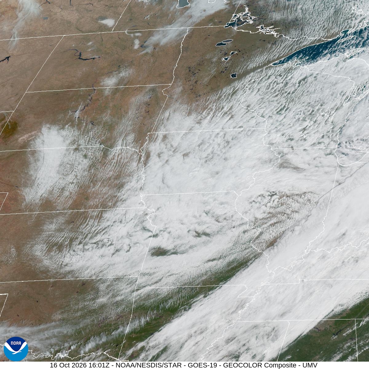
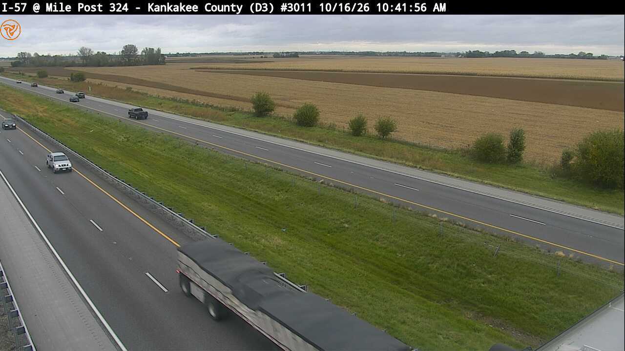
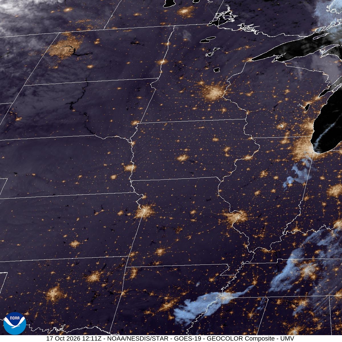
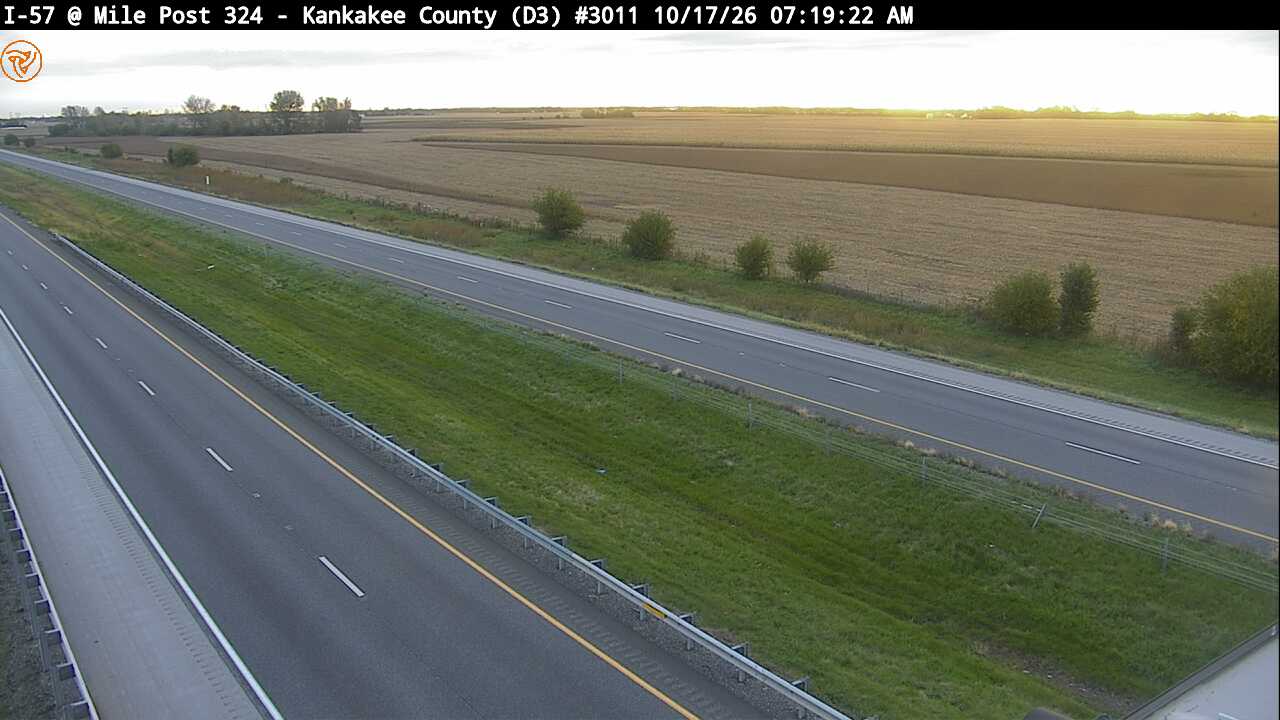
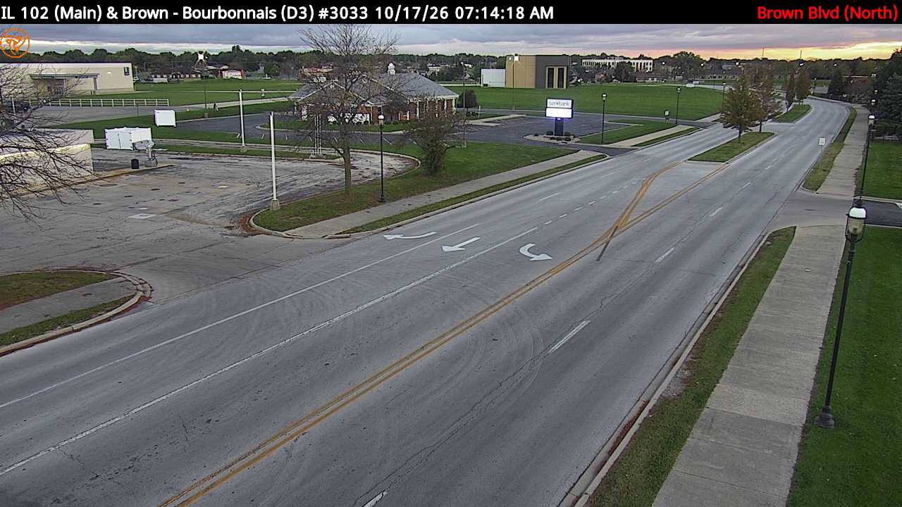
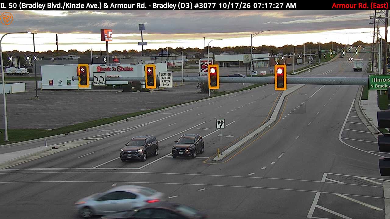
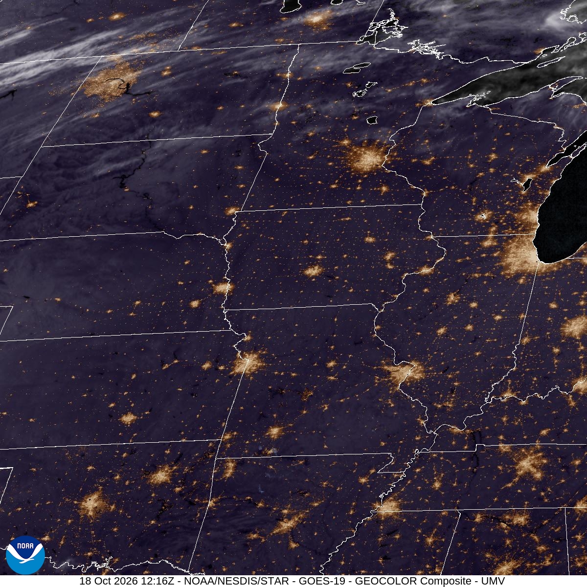
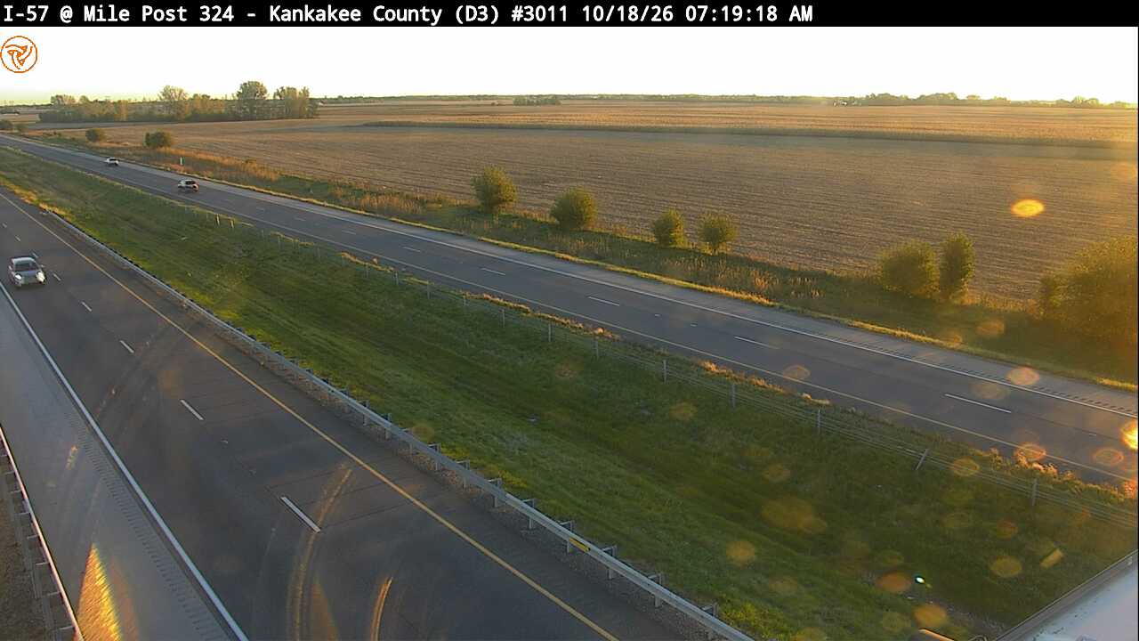
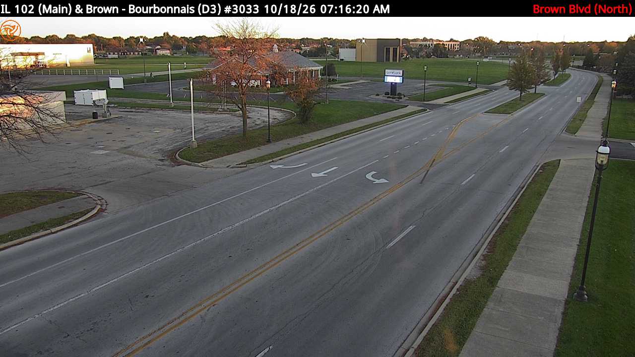
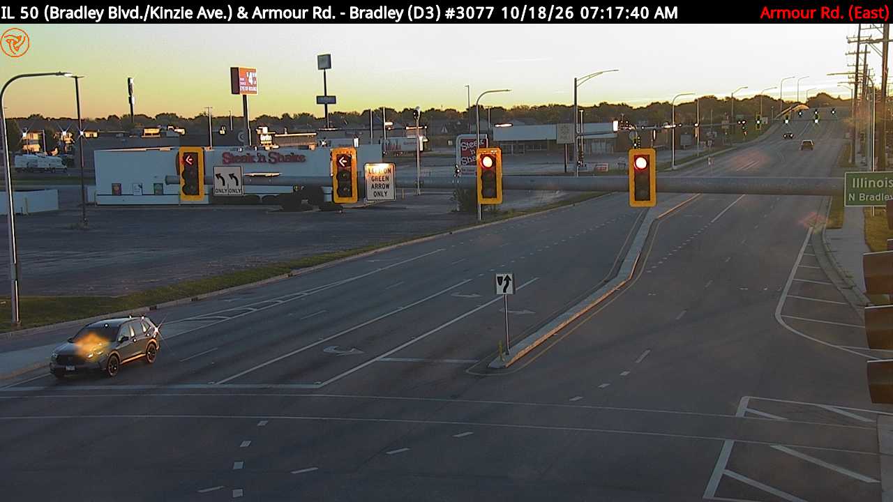
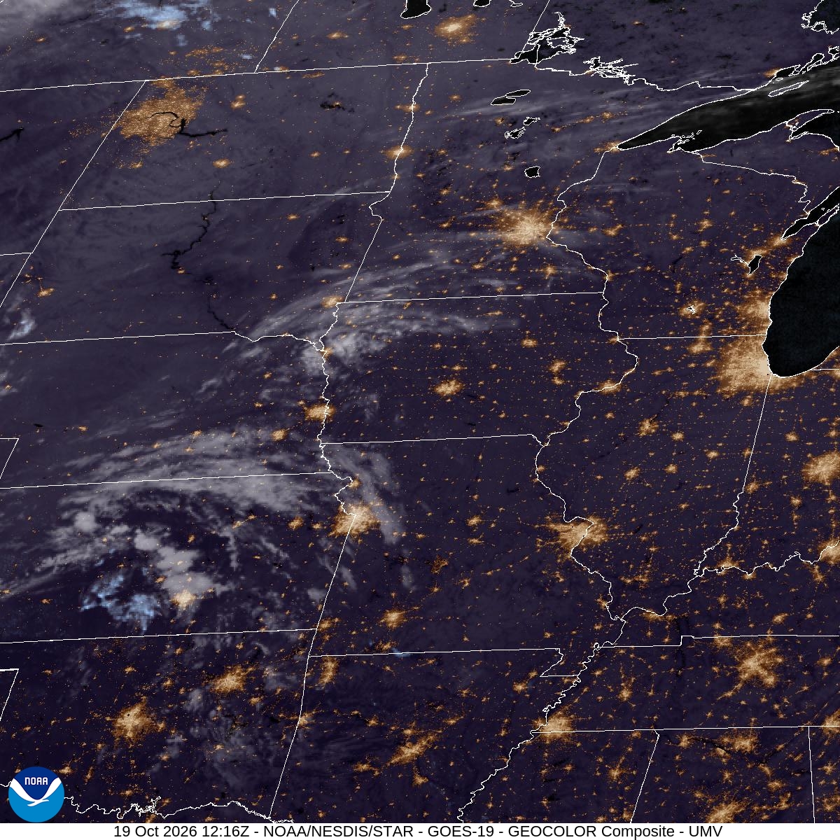
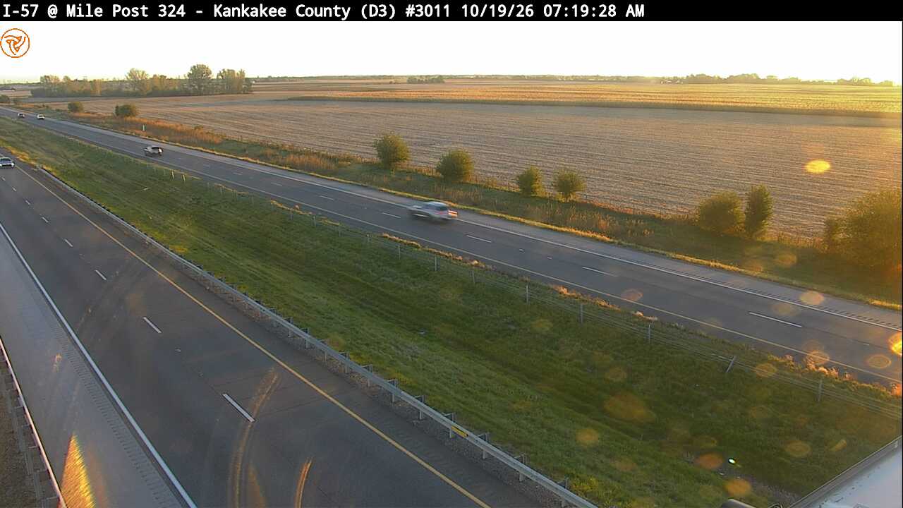
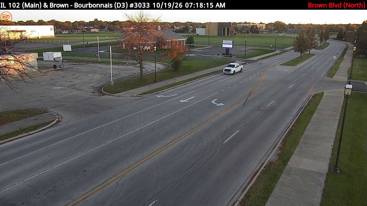
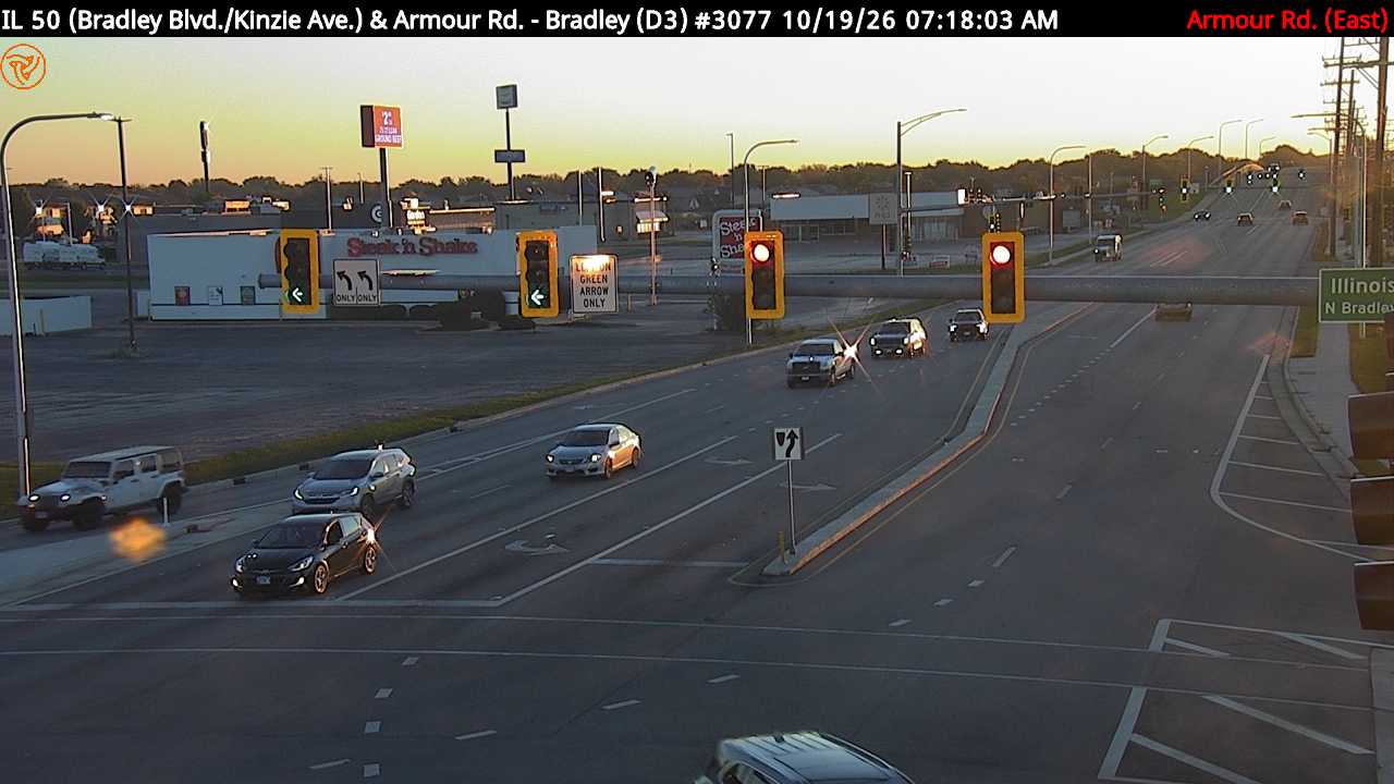
Bird Park — 16 %, shallow ground fog
where41.1213, -87.8792 · map
lookriverfront + open field + mature trees; closest aerial option in Class G
featuresriver, open field, treesaccessOpening time not stated. Page lists: "Park Closes At Dusk"
droneunknown — no rule found; default is FAA recreational/Part 107 rules (<=400 ft AGL, visual line of sight, Class G needs no authorization) but unverified for this site
airspaceKankakee Class E5 (floor 700 ft AGL) + Illinois Class E5; surface is Class G. KIKK 3.3 nm. Kankakee Airport (3KK) 2.0 nm. No UAS Facility Map grid.
notesIn-town park (893 W. Station St., Kankakee). kvpd.com search for 'drone' returned a page with no match. Same Illinois (b-5) local-rule caveat as Perry Farm.
suncivil dawn 06:40, sunrise 07:09 at 103.2°, beams 07:23–08:21, burn-off 07:39–08:24 est.
riverriver water +9.9 °C warmer than the forecast dawn air (steam fog over open water needs roughly ≥5 °C and light wind; forecast wind 3 kt)
rain 48 h0.0 mm (Open-Meteo ICON assimilated past days (model analysis, not a gauge))
- dewpoint depression: 0.75 — min T−Td in the 3 h before sunrise = 1.2 °C (≤1 °C strongly favours fog, >3 °C rarely fogs)
- wind: 1.00 — mean 10 m wind in the 3 h before sunrise = 3.5 kt (2–5 kt ideal; calm gives only shallow fog; >8 kt mixes it out)
- sky: 1.00 — overnight mid+high levels cloud = 17 % (clear sky lets the ground radiate and cool)
- cooling: 1.00 — temperature fall 18:00 → sunrise = 12.5 °C
- moisture: 0.10 — crossover: forecast night minimum 4.9 °C vs afternoon dewpoint -0.9 °C → +5.8 °C; rain last 48 h = 0.0 mm
- model signal: 0.10 — model's own visibility minimum before sunrise = 13.1 km (0 h ≤ 1 km overnight)
per-model blend: gfs_hrrr 0.7, ncep_nbm_conus 0.712, ecmwf_ifs025 0.577, icon_seamless 0.652 · spread 0.135
Kankakee Sands - Illinois (The Nature Conservancy) — 13 %, shallow ground fog
where41.0793, -87.6568 · map
lookbest lone-tree savanna terrain for the ground frame; NO drone
featuresoak savanna, prairie, lone trees, sand dunesaccess"Open sunrise to sunset, 365 days a year"
droneprohibited — "Drones—aka personal aircraft, unmanned aircraft systems (UAS) and unmanned aerial vehicles (UAV): Self-propelled or other aircraft are prohibited from taking off, landing or being operated on any TNC preserve except for official TNC purposes, approved research or in an emergency landing situation." source
airspaceIllinois Class E5 only (floor 1200 ft AGL); surface is Class G. KIKK 8.6 nm. No UAS Facility Map grid.
notesBest-fit terrain for the lone-tree-in-fog look from the ground, but drones are prohibited. TNC page: deer hunting allowed on many preserves from October through first week of January (blaze orange suggested). Not the same as Kankakee Sands-Indiana (Morocco) or the Will County FPD Kankakee Sands Preserve.
suncivil dawn 06:39, sunrise 07:08 at 103.2°, beams 07:22–08:20, burn-off 07:38–08:23 est.
rain 48 h0.0 mm (Open-Meteo ICON assimilated past days (model analysis, not a gauge))
- dewpoint depression: 0.33 — min T−Td in the 3 h before sunrise = 2.3 °C (≤1 °C strongly favours fog, >3 °C rarely fogs)
- wind: 1.00 — mean 10 m wind in the 3 h before sunrise = 3.7 kt (2–5 kt ideal; calm gives only shallow fog; >8 kt mixes it out)
- sky: 1.00 — overnight mid+high levels cloud = 15 % (clear sky lets the ground radiate and cool)
- cooling: 1.00 — temperature fall 18:00 → sunrise = 11.7 °C
- moisture: 0.10 — crossover: forecast night minimum 4.8 °C vs afternoon dewpoint -0.2 °C → +5.0 °C; rain last 48 h = 0.0 mm
- model signal: 0.10 — model's own visibility minimum before sunrise = 15.5 km (0 h ≤ 1 km overnight)
per-model blend: gfs_hrrr 0.573, ncep_nbm_conus 0.741, ecmwf_ifs025 0.548, icon_seamless 0.724 · spread 0.193
Momence Wetlands Nature Preserve — 19 %, shallow ground fog
where41.1643, -87.5542 · map
lookfloodplain forest: treetops-in-fog aerial if authorized
featuresriver, bottomland, floodplain forestaccessNone
dronepermit — 17 Ill. Adm. Code 110.160(i): it is unlawful "Except in cases of emergency, for any person to land or attempt to land any aircraft on Department-owned, -leased or -managed property without prior authorization for each landing or attempted landing from the Department." No site-specific drone page found for this site. The wording says 'aircraft', not 'drone/unmanned', and does not name the superintendent; treat as authorization required until the site office says otherwise. source
airspaceNo Class E polygon from the FAA data at this point; surface is Class G. KIKK 14.3 nm, Bult Field (C56) 14.1 nm. No UAS Facility Map grid.
notesPage gives only directions: "From Momence, take Highway 114 east 6 miles to a county road. Turn north on this road and go 0.75 mile. The preserve is on the west side of the road." No parking, trail or hours stated. 17 Ill. Adm. Code 110.120(b) bars entry to a dedicated nature preserve where posted rules prohibit it. Contact listed: Site Superintendent, Iroquois County Conservation Area, 815-435-2218.
suncivil dawn 06:39, sunrise 07:07 at 103.2°, beams 07:21–08:19, burn-off 08:07–09:07 est.
riverriver water +10.4 °C warmer than the forecast dawn air (steam fog over open water needs roughly ≥5 °C and light wind; forecast wind 3 kt)
rain 48 h0.0 mm (Open-Meteo ICON assimilated past days (model analysis, not a gauge))
- dewpoint depression: 0.91 — min T−Td in the 3 h before sunrise = 0.8 °C (≤1 °C strongly favours fog, >3 °C rarely fogs)
- wind: 1.00 — mean 10 m wind in the 3 h before sunrise = 3.4 kt (2–5 kt ideal; calm gives only shallow fog; >8 kt mixes it out)
- sky: 0.97 — overnight mid+high levels cloud = 22 % (clear sky lets the ground radiate and cool)
- cooling: 1.00 — temperature fall 18:00 → sunrise = 12.0 °C
- moisture: 0.20 — crossover: forecast night minimum 4.4 °C vs afternoon dewpoint 1.1 °C → +3.3 °C; rain last 48 h = 0.0 mm
- model signal: 0.10 — model's own visibility minimum before sunrise = 12.2 km (0 h ≤ 1 km overnight)
per-model blend: gfs_hrrr 0.754, ncep_nbm_conus 0.742, ecmwf_ifs025 0.633, icon_seamless 0.705 · spread 0.121
Des Plaines State Fish and Wildlife Area — 20 %, shallow ground fog
where41.3720, -88.2070 · map
lookbottomland + prairie + backwaters; over the 45-min line; Dresden station 3 nm
featuresriver, bottomland, prairie, ponds, open fieldsaccessNone
dronepermit — 17 Ill. Adm. Code 110.160(i): it is unlawful "Except in cases of emergency, for any person to land or attempt to land any aircraft on Department-owned, -leased or -managed property without prior authorization for each landing or attempted landing from the Department." No site-specific drone page found for this site. The wording says 'aircraft', not 'drone/unmanned', and does not name the superintendent; treat as authorization required until the site office says otherwise. source
airspaceNo Class E polygon from the FAA data at this point; surface is Class G. Dresden Generating Station (nuclear) 3.0 nm, Braidwood 7.8 nm, KJOT 8.9 nm. FAA FDC 6/8818 advises avoiding airspace in close proximity to nuclear plants; no mapped hard restriction found.
notesDrive estimate is just over the 45-minute target. Hunting is a main use (IDNR activities page has a hunting section; hunting-season dates not checked). IDNR: "Boat ramps are closed seasonally from the end of October for pheasant hunting season thru mid-April"; hand trap and archery ranges are "Closed during pheasant season." General daily hours not found; equestrian trail "6 a.m. to 10 p.m. daily" is trail-specific.
suncivil dawn 06:42, sunrise 07:10 at 103.3°, beams 07:24–08:23, burn-off 08:10–09:10 est.
riverriver water +8.6 °C warmer than the forecast dawn air (steam fog over open water needs roughly ≥5 °C and light wind; forecast wind 3 kt)
rain 48 h0.0 mm (Open-Meteo ICON assimilated past days (model analysis, not a gauge))
- dewpoint depression: 0.70 — min T−Td in the 3 h before sunrise = 1.3 °C (≤1 °C strongly favours fog, >3 °C rarely fogs)
- wind: 1.00 — mean 10 m wind in the 3 h before sunrise = 2.7 kt (2–5 kt ideal; calm gives only shallow fog; >8 kt mixes it out)
- sky: 0.82 — overnight mid+high levels cloud = 33 % (clear sky lets the ground radiate and cool)
- cooling: 1.00 — temperature fall 18:00 → sunrise = 10.8 °C
- moisture: 0.37 — crossover: forecast night minimum 6.2 °C vs afternoon dewpoint 4.0 °C → +2.2 °C; rain last 48 h = 0.0 mm
- model signal: 0.10 — model's own visibility minimum before sunrise = 13.4 km (0 h ≤ 1 km overnight)
per-model blend: gfs_hrrr 0.686, ncep_nbm_conus 0.798, ecmwf_ifs025 0.59, icon_seamless 0.908 · spread 0.318
Kankakee River State Park — 14 %, shallow ground fog
where41.2030, -87.9790 · map
lookriver steam fog in the valley; rim gives an elevated view over the fog (drone needs IDNR authorization)
featuresriver, river-valley reliefaccessNo opening hours on the park page. Activities page: "Quiet hours are 10 p.m. to 7 a.m. Vehicle traffic is not allowed during quiet hours."
dronepermit — 17 Ill. Adm. Code 110.160(i): it is unlawful "Except in cases of emergency, for any person to land or attempt to land any aircraft on Department-owned, -leased or -managed property without prior authorization for each landing or attempted landing from the Department." No site-specific drone page found for this site. The wording says 'aircraft', not 'drone/unmanned', and does not name the superintendent; treat as authorization required until the site office says otherwise. source
airspaceIllinois Class E5 only (floor 1200 ft AGL); surface is Class G. KIKK 9.9 nm. Private strips nearby: Hawker (12IL) 1.7 nm, Classic Landings (05IL) 3.3 nm (OSM/FAA IDs).
notesVehicle ban until 7:00 am means pre-sunrise access by car is not allowed; sunrise is roughly 7:00-7:10 am CDT now but about 6:20-6:40 am CST after Nov 1. Walk-in before 7 is not addressed on the page. Park office: 815-933-1383, Mon-Fri 8:00-3:30 (metal detecting permit text). Hunting seasons run in the park (archery deer, waterfowl, upland).
suncivil dawn 06:40, sunrise 07:09 at 103.2°, beams 07:23–08:21, burn-off 07:39–08:24 est.
riverriver water +9.2 °C warmer than the forecast dawn air (steam fog over open water needs roughly ≥5 °C and light wind; forecast wind 4 kt)
rain 48 h0.0 mm (Open-Meteo ICON assimilated past days (model analysis, not a gauge))
- dewpoint depression: 0.44 — min T−Td in the 3 h before sunrise = 1.9 °C (≤1 °C strongly favours fog, >3 °C rarely fogs)
- wind: 1.00 — mean 10 m wind in the 3 h before sunrise = 4.2 kt (2–5 kt ideal; calm gives only shallow fog; >8 kt mixes it out)
- sky: 0.93 — overnight mid+high levels cloud = 26 % (clear sky lets the ground radiate and cool)
- cooling: 1.00 — temperature fall 18:00 → sunrise = 12.3 °C
- moisture: 0.10 — crossover: forecast night minimum 5.6 °C vs afternoon dewpoint -1.1 °C → +6.8 °C; rain last 48 h = 0.0 mm
- model signal: 0.10 — model's own visibility minimum before sunrise = 14.4 km (0 h ≤ 1 km overnight)
per-model blend: gfs_hrrr 0.596, ncep_nbm_conus 0.756, ecmwf_ifs025 0.548, icon_seamless 0.721 · spread 0.208
Home (Bourbonnais, 60914) — 13 %, shallow ground fog
where41.1530, -87.8790 · map
featurescorn, tree lineaccessnot verified
droneunknown — no rule found
suncivil dawn 06:40, sunrise 07:09 at 103.2°, beams 07:23–08:21, burn-off 07:39–08:24 est.
rain 48 h0.0 mm (Open-Meteo ICON assimilated past days (model analysis, not a gauge))
- dewpoint depression: 0.56 — min T−Td in the 3 h before sunrise = 1.6 °C (≤1 °C strongly favours fog, >3 °C rarely fogs)
- wind: 1.00 — mean 10 m wind in the 3 h before sunrise = 3.6 kt (2–5 kt ideal; calm gives only shallow fog; >8 kt mixes it out)
- sky: 1.00 — overnight mid+high levels cloud = 18 % (clear sky lets the ground radiate and cool)
- cooling: 1.00 — temperature fall 18:00 → sunrise = 12.7 °C
- moisture: 0.10 — crossover: forecast night minimum 5.1 °C vs afternoon dewpoint -1.6 °C → +6.6 °C; rain last 48 h = 0.0 mm
- model signal: 0.10 — model's own visibility minimum before sunrise = 13.9 km (0 h ≤ 1 km overnight)
per-model blend: gfs_hrrr 0.643, ncep_nbm_conus 0.662, ecmwf_ifs025 0.548, icon_seamless 0.652 · spread 0.114
Perry Farm Park — 12 %, shallow ground fog
where41.1457, -87.8849 · map
lookbluff ~70 ft above the river: ground-level view DOWN onto river fog without a drone; pond and orchard for lone-tree frames
featuresriver, river-valley relief, pond, orchard/farmsteadaccess"Hours of Operation: Dawn until Dusk, Year Round"
droneunknown — no rule found; default is FAA recreational/Part 107 rules (<=400 ft AGL, visual line of sight, Class G needs no authorization) but unverified for this site
airspaceKankakee Class E5 (floor 700 ft AGL) + Illinois Class E5; surface is Class G. KIKK 4.8 nm (inside the roughly 4-5 nm ring where a Class E surface area would sit, but FAA data shows no surface area). No UAS Facility Map grid.
notesbtpd.org site search for 'drone' returns no results and the Rules and Regulations page has no aircraft clause. Illinois law (620 ILCS 5/42.1(b-5)) lets a park district adopt reasonable rules for airspace over its parkland, so call 815-933-9905 to confirm. Park coordinates are the OSM centroid, not the overlook.
suncivil dawn 06:40, sunrise 07:09 at 103.2°, beams 07:23–08:21, burn-off 07:39–08:24 est.
riverriver water +9.6 °C warmer than the forecast dawn air (steam fog over open water needs roughly ≥5 °C and light wind; forecast wind 4 kt)
rain 48 h0.0 mm (Open-Meteo ICON assimilated past days (model analysis, not a gauge))
- dewpoint depression: 0.44 — min T−Td in the 3 h before sunrise = 1.9 °C (≤1 °C strongly favours fog, >3 °C rarely fogs)
- wind: 1.00 — mean 10 m wind in the 3 h before sunrise = 3.8 kt (2–5 kt ideal; calm gives only shallow fog; >8 kt mixes it out)
- sky: 1.00 — overnight mid+high levels cloud = 17 % (clear sky lets the ground radiate and cool)
- cooling: 1.00 — temperature fall 18:00 → sunrise = 12.4 °C
- moisture: 0.10 — crossover: forecast night minimum 5.2 °C vs afternoon dewpoint -1.4 °C → +6.6 °C; rain last 48 h = 0.0 mm
- model signal: 0.10 — model's own visibility minimum before sunrise = 14.2 km (0 h ≤ 1 km overnight)
per-model blend: gfs_hrrr 0.607, ncep_nbm_conus 0.664, ecmwf_ifs025 0.548, icon_seamless 0.652 · spread 0.116
Island Park (Momence) — 17 %, shallow ground fog
where41.1630, -87.6548 · map
lookriver island, flat; steam fog over water
featuresriver, island, flat terrainaccessNone
droneunknown — no rule found; default is FAA recreational/Part 107 rules (<=400 ft AGL, visual line of sight, Class G needs no authorization) but unverified for this site
airspaceNo Class E polygon from the FAA data at this point; surface is Class G. KIKK 10.3 nm, Bult Field (C56) 12.9 nm. No UAS Facility Map grid.
notesTown-center park; no verified corn or tree-line view. No hours or drone rule on momence.org or momenceparkdistrict.org. visitkankakeecounty.com pages returned HTTP 403.
suncivil dawn 06:39, sunrise 07:08 at 103.2°, beams 07:22–08:20, burn-off 08:08–09:08 est.
riverriver water +10.2 °C warmer than the forecast dawn air (steam fog over open water needs roughly ≥5 °C and light wind; forecast wind 4 kt)
rain 48 h0.0 mm (Open-Meteo ICON assimilated past days (model analysis, not a gauge))
- dewpoint depression: 0.70 — min T−Td in the 3 h before sunrise = 1.3 °C (≤1 °C strongly favours fog, >3 °C rarely fogs)
- wind: 1.00 — mean 10 m wind in the 3 h before sunrise = 3.6 kt (2–5 kt ideal; calm gives only shallow fog; >8 kt mixes it out)
- sky: 0.99 — overnight mid+high levels cloud = 21 % (clear sky lets the ground radiate and cool)
- cooling: 1.00 — temperature fall 18:00 → sunrise = 11.9 °C
- moisture: 0.10 — crossover: forecast night minimum 4.6 °C vs afternoon dewpoint 0.4 °C → +4.1 °C; rain last 48 h = 0.0 mm
- model signal: 0.10 — model's own visibility minimum before sunrise = 12.6 km (0 h ≤ 1 km overnight)
per-model blend: gfs_hrrr 0.683, ncep_nbm_conus 0.754, ecmwf_ifs025 0.588, icon_seamless 0.724 · spread 0.166
Midewin National Tallgrass Prairie - Iron Bridge Trailhead — 14 %, shallow ground fog
where41.3789, -88.1231 · map
lookdeep-bank aerial over prairie + tree rows; lone-tree shots from the trail
featuresprairie, tree line, farmlandaccess"Visitors and trail users are welcome to the open areas of Midewin every day of the year from 4 am until 10 pm." (hiking page); trailhead page: "Trails: year-round, Mon - Sun, 4:00 a.m. to 10:00 p.m. (Closed on federal holidays)"
droneallowed — Midewin links to the national FS page: "Individuals and organizations may fly UAS for hobby or recreational purposes"; "UAS must be flown below 400 feet"; "Keep your UAS away from populated and noise-sensitive areas, such as campgrounds, trail heads, and visitor centers." Midewin safety page: "Avoid Drone Use Near Bison". Forest Orders page: "Currently there are no active Forest Orders at Midewin National Tallgrass Prairie." No Midewin-specific filming/commercial permit rule found. source
airspaceFAA Class_Airspace data: Chicago Class E5 (floor 700 ft AGL) + Illinois Class E5; surface is Class G. No UAS Facility Map grid. KJOT 8.7 nm, Dresden Generating Station 6.6 nm, Braidwood 9.4 nm. Not in any national-security UAS restriction layer.
notesDrive time is an OSRM estimate. FS tips page cites Section 336 (outdated wording) and says to fly >=5 miles from an airport (KJOT is 8.7 nm away). Bison are present at Midewin; location of herd vs this trailhead not verified.
suncivil dawn 06:41, sunrise 07:10 at 103.3°, beams 07:24–08:23, burn-off 08:10–09:10 est.
rain 48 h0.0 mm (Open-Meteo ICON assimilated past days (model analysis, not a gauge))
- dewpoint depression: 0.52 — min T−Td in the 3 h before sunrise = 1.7 °C (≤1 °C strongly favours fog, >3 °C rarely fogs)
- wind: 1.00 — mean 10 m wind in the 3 h before sunrise = 4.3 kt (2–5 kt ideal; calm gives only shallow fog; >8 kt mixes it out)
- sky: 0.83 — overnight mid+high levels cloud = 33 % (clear sky lets the ground radiate and cool)
- cooling: 1.00 — temperature fall 18:00 → sunrise = 10.6 °C
- moisture: 0.10 — crossover: forecast night minimum 6.5 °C vs afternoon dewpoint 2.1 °C → +4.4 °C; rain last 48 h = 0.0 mm
- model signal: 0.10 — model's own visibility minimum before sunrise = 14.2 km (0 h ≤ 1 km overnight)
per-model blend: gfs_hrrr 0.605, ncep_nbm_conus 0.739, ecmwf_ifs025 0.591, icon_seamless 0.719 · spread 0.148
Iroquois County State Wildlife Area — 13 %, shallow ground fog
where40.9940, -87.5990 · map
looklone trees on sand ridges, marsh fog; over the 45-min line; hunting-season access limits
featuresmarsh, sand ridges, savanna, prairie remnantaccessNone
dronepermit — 17 Ill. Adm. Code 110.160(i): it is unlawful "Except in cases of emergency, for any person to land or attempt to land any aircraft on Department-owned, -leased or -managed property without prior authorization for each landing or attempted landing from the Department." No site-specific drone page found for this site. The wording says 'aircraft', not 'drone/unmanned', and does not name the superintendent; treat as authorization required until the site office says otherwise. source
airspaceNo Class E polygon from the FAA data at this point; surface is Class G. KIKK 12.1 nm. No UAS Facility Map grid.
notesOUTSIDE the 45-minute target (OSRM estimate 55 min) and kept because the terrain matches the lone-tree look. IDNR page: "The majority of the area, 2,000 acres, is managed as a public hunting area... Nonconsumptive recreation, in the form of hiking and nature study, is available when the facility is closed to hunting." Hunting seasons overlap Oct-Nov. IDNR: drones for any aspect of hunting are unlawful. Site office 815-435-2218.
suncivil dawn 06:39, sunrise 07:07 at 103.2°, beams 07:21–08:19, burn-off 08:07–09:07 est.
rain 48 h0.0 mm (Open-Meteo ICON assimilated past days (model analysis, not a gauge))
- dewpoint depression: 0.44 — min T−Td in the 3 h before sunrise = 1.9 °C (≤1 °C strongly favours fog, >3 °C rarely fogs)
- wind: 1.00 — mean 10 m wind in the 3 h before sunrise = 3.4 kt (2–5 kt ideal; calm gives only shallow fog; >8 kt mixes it out)
- sky: 0.92 — overnight mid+high levels cloud = 26 % (clear sky lets the ground radiate and cool)
- cooling: 1.00 — temperature fall 18:00 → sunrise = 12.6 °C
- moisture: 0.30 — crossover: forecast night minimum 4.3 °C vs afternoon dewpoint 1.6 °C → +2.7 °C; rain last 48 h = 0.0 mm
- model signal: 0.10 — model's own visibility minimum before sunrise = 14.8 km (0 h ≤ 1 km overnight)
per-model blend: gfs_hrrr 0.615, ncep_nbm_conus 0.689, ecmwf_ifs025 0.567, icon_seamless 0.693 · spread 0.126